CHAT conference
Best wishes to everyone we met at the conference, and we hope you all had safe journeys back home. You are always welcome at Ironbridge!
Paul
Work in the field of contemporary archaeology by Ironbridge Archaeology
 Doing archaeology at Wednesbury
 Research- ers from the Chemistry depart- ment at the University of Bristol take dust samples for analysis.
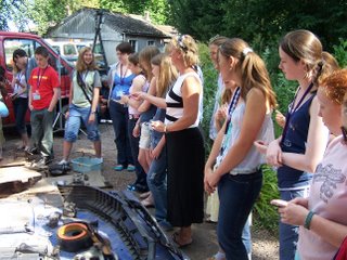 A visit from summer school students.
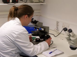 Forensic invest- igation takes place on hairs from the back of the van.
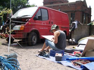 The elevation drawings are prepared
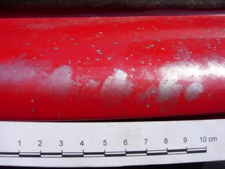 Chips and fingerprints on driver’s door
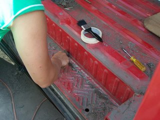 Clearing deposit on nearside sliding door step
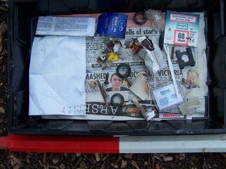 Finds from the cab floor
 The site in landscape context.
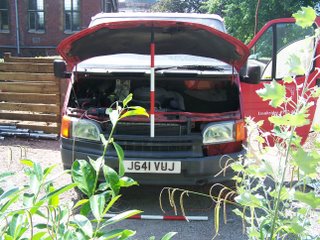 Front elevation
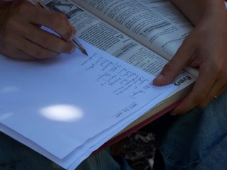 Our list of tasks for engine checks, after Haynes.
 Artefact scatter in the rear of the van.

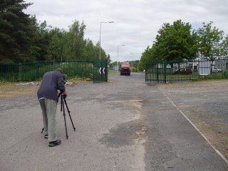
 Greg Bailey (back to camera) interviews Paul Belford before the van is loaded onto the truck.
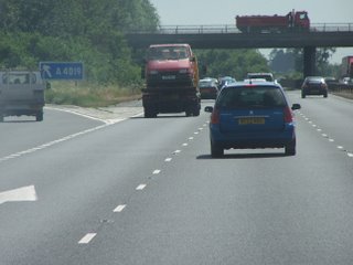 The van passing Junction 10, south- bound on the M5.
 Is there an engine in here? Mark Grainger of the AA inspects the vehicle after arrival in Bristol.
 The lonely van, almost the last occupant of Furrow's former compound.
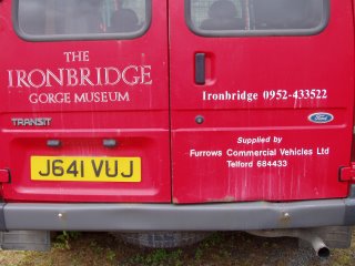 Rear view, the old phone numbers date the van as well as the number plate.
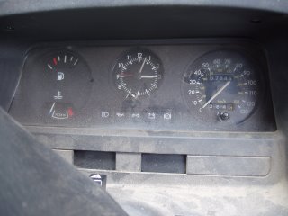 Odometer reads 27,845, in reality this is at least 227,845; life expired at 3.03pm!
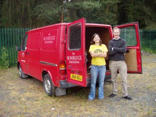 Cassie and John seem delighted with their new acquisition!
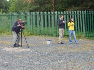 Greg (with video camera), John and Cassie watch as the van is loaded onto the AA truck...
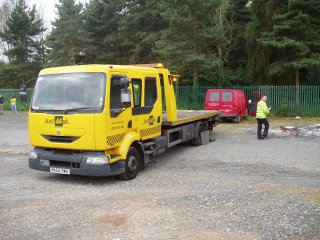 ...the winch cable is run out...
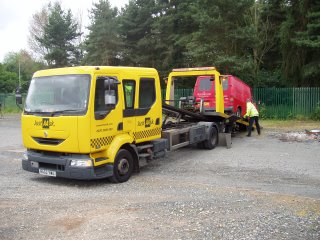 ...the van is winched up the ramp...
 ...and firmly lashed down...
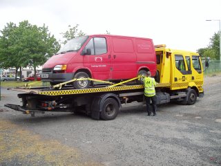 ...the ramp is retracted...
 ...and they set off to Bristol!
 General view of one of the corridor walls.
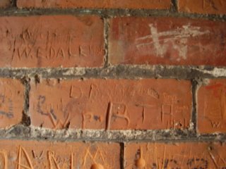 W.P. 1897; W.E.Dale 1928; T.A. 1931; D.M. 1980
 HMS Bristol, visiting in 1978, 1988, 1990 and 1996.
 HMS Jezebel and HMS Warspite.
 USS Whale, and various research and other civilian vessels.
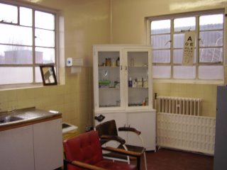
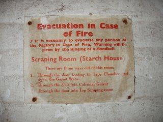 Fire evacuation notice providing details of room functions, c.1920
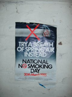 National No Smoking Day poster, 20th March 1985
 Calendar from a Sheffield saw manufacturer, May 1988
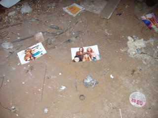 Spice Girls promo-tional photos (and a tax disc) in the former boiler room.
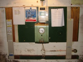
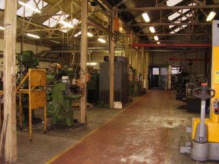

 Many of the forge's products were exported across the globe, as this tool mould shows.
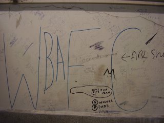
 Employees used the toilet facilities to let each other know what they thought of their working conditions...

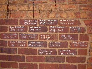
 Simon and Paul at the Ironbridge christmas lunch, 16th December 2005
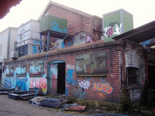
 Photo 1 - The parcel, as it arrived in the Ironbridge Archaeology office
 Photo 3 - Simon begins excavation
Photo 4 - The contents of the parcel in situ
The parcel was opened, revealing a single mixed deposit of inflated cellophane packaging and cardboard boxes (1009)
Photo 5 - The assemblage
Conclusion
Examination of deposit (1009) revealed some exciting new illustration software (hurrah!). The software had travelled from where it was manufactured in California, all the way to Shropshire...via Daventry. On contacting the museum IT department it transpired that we were not the intended recipients of the parcel (oh).